Trans canada Trail
The Trans Canada Trail within British Columbia is broken into the following regions:
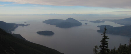
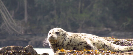
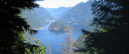
- Vancouver Island
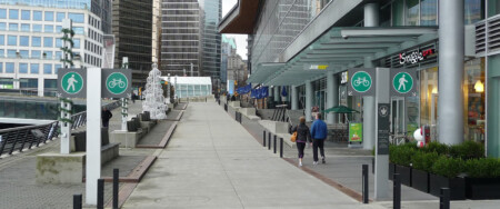
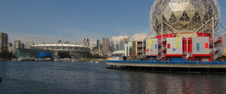
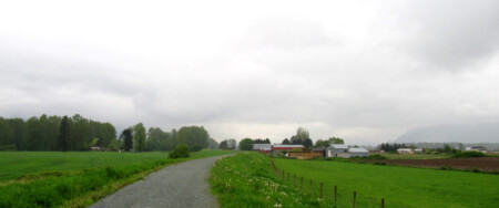
- Lower Mainland
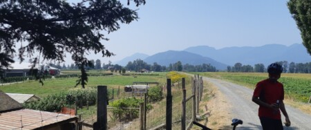
- Fraser Valley
- Okanagan
- Boundary
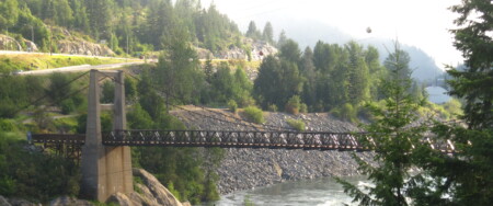
- West Kootenay
- East Kootenay & Rockies
- Northeast BC
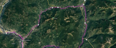
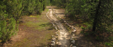
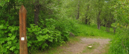
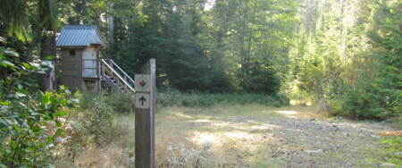
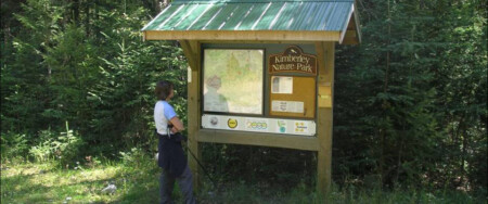
Each regional page contains an overview of the trail. Each region is in turn broken into smaller trail areas. Each area page contains in-depth details such as directions and trail closures.
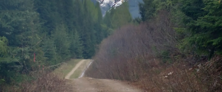
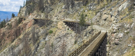
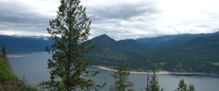
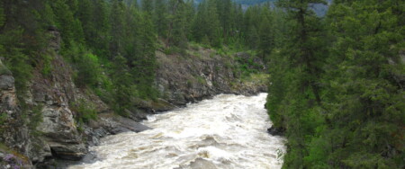
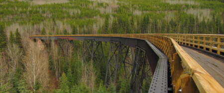
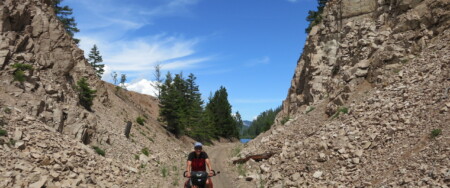
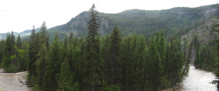
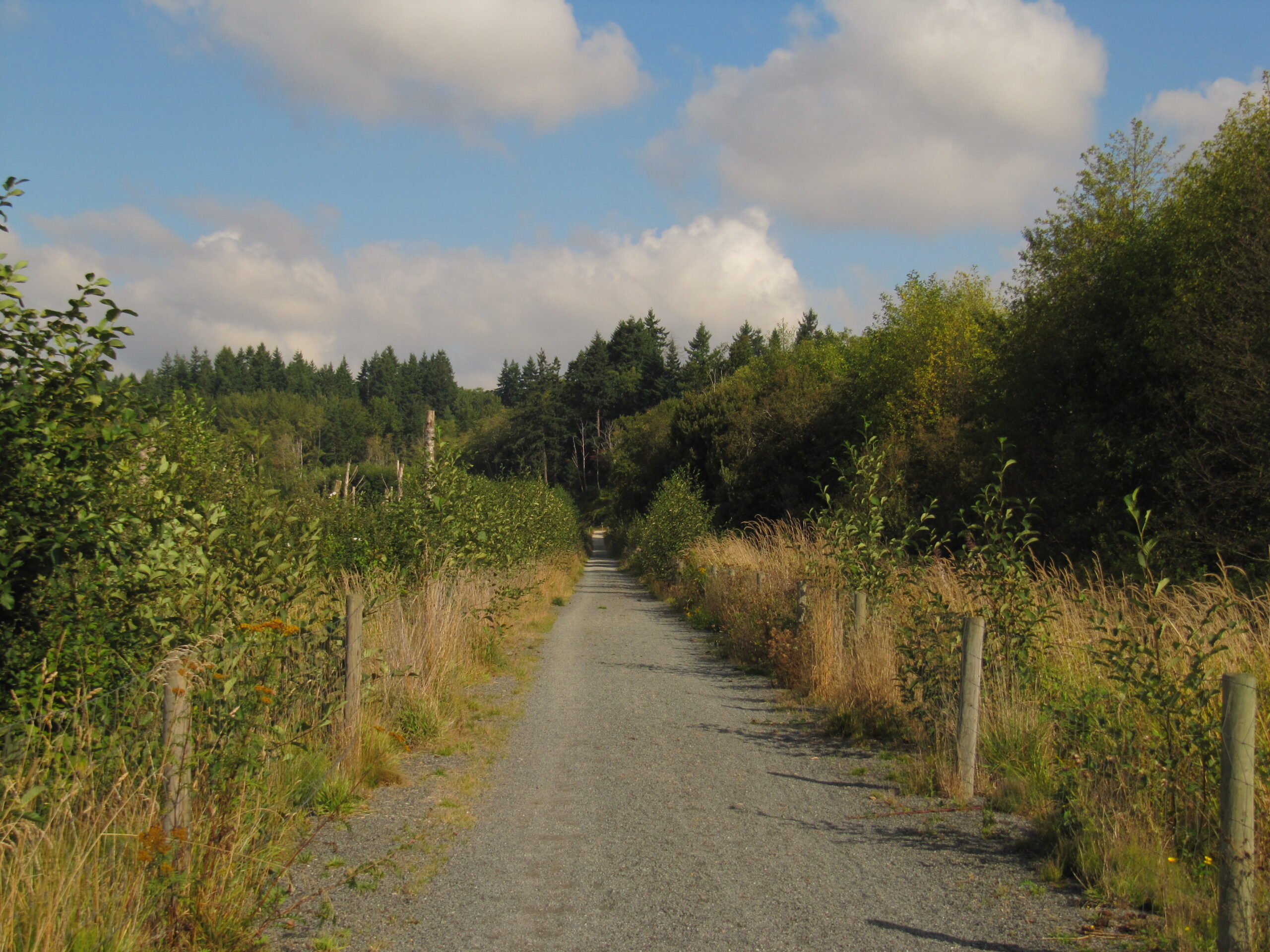
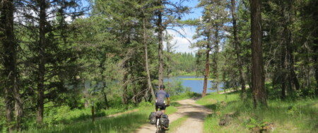
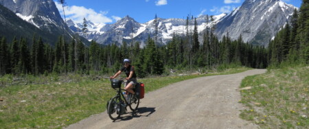
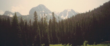
Generally, when describing the trail, we describe its eastbound direction, starting from the Pacific Ocean in Victoria and travelling to the Alberta border at Elk Pass. This incorporates 6 of the 7 regions (Vancouver Island to East Kootenay). The trail weaves its way through 7 mountain ranges on a journey more than 1750 kilometres long. A portion of the Trans Canada Trail also runs north from Vancouver to Whistler along the Sea to Sky Trail.
In the northeast of the province, the Trans Canada Trail enters from the Yukon border at Lower Post (just east of Watson Lake) and follows the Alaska Highway to Dawson Creek, crossing into Alberta on a journey of over 1000 kilometres.
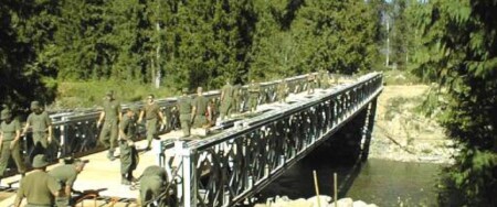
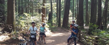
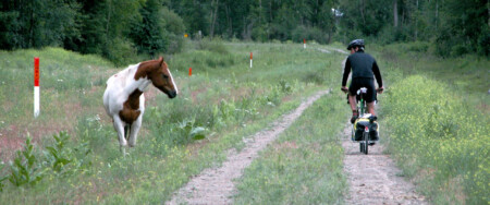
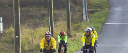
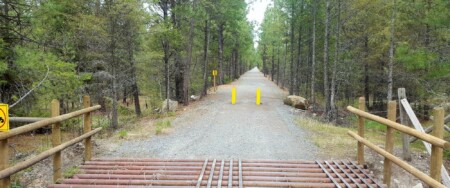
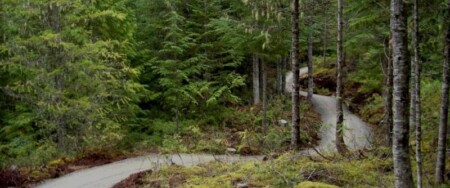
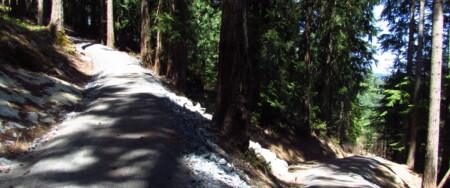
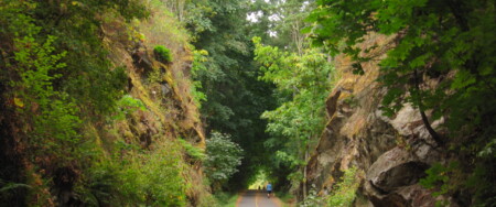
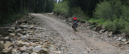
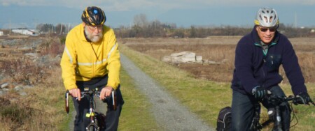
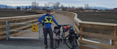
The trail is still in development, though 80% is complete and operational, but thousands of people are already using operational portions of the trail throughout the province – often on a daily basis.
About the Trans Canada Trail
Initiated in 1992 as a project to celebrate Canada’s 125th year, the Trans Canada Trail is the world’s longest network of multi-use recreational trails. When connected, it will stretch 23,000 kilometres from the Atlantic to the Pacific to the Arctic Oceans, through every province and territory, linking over 1000 communities and all Canadians.
Yukon in order to connect the Yukon Territory and the Arctic Ocean using a land route (as opposed to the water route from Alberta
to the Arctic via the Northwest Territories).
About the Pavilions
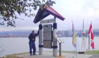
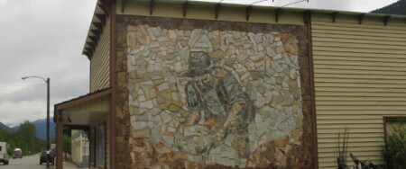
The Trans Canada Trail’s presence is felt not just by trail but by its well-known red-roofed pavilions, which can be found across the country and are a way of thanking those who have donated funds to the completion of this project. Within BC, over 31,356 individual names and 900 messages are inscribed on the pavilion panels. We thank all the Trans Canada Trail supporters and proud Canadians that have submitted these names and messages.
In BC there are completed pavilions in:
- Victoria
- Nanaimo
- North Vancouver
- Vancouver (Granville Island)
- Burnaby
- Pitt Meadows
- Maple Ridge
- Coquitlam
- Fort Langley
- Abbotsford
- Chilliwack
- Hope
- Penticton
- Grand Forks
- Trail
- Cranbrook
- Fernie
The dominance of pavilions in the lower mainland is due to local community support. Most are smaller pavilions and financed by the community.
- Newfoundland T’Railway Council
- Trails Nova Scotia
- Island Trails – Prince Edward Island
- New Brunswick Trail Council Inc.
- Vélo Québec: Cycling & Bikeways
- Ontario Trails Council
- Manitoba Recreational Trails Association
- Alberta TrailNet Society
- Klondike Snowmobile Association
Disclaimer
This trail information is subject to changes. While reasonable effort has been made to ensure that the information on this site is correct, Trails BC makes no warranty about the accuracy of this information and accepts no liability for any inconvenience or any direct or consequential loss arising from reliance upon this information. Be sure to check our Latest Trail Closures before heading out and read our full disclaimer!