


Between Creston and Cranbrook, the main highway provides a brisk ride but has unpleasant rumble strips in places and heavy traffic with transport and logging trucks. Extra caution should be used along the entire route, though many sections have a decent shoulder.
The entire bypass often takes 2 full days, with Creston being a suitable place for an overnight rest.
Staging Areas:
GPS INFORMATION:
- KML/KMZ files can be opened in Google Earth, and many smartphone apps.
- GPX files can be opened by most GPS software apps when KMZ cannot. Note, GPX files do not contain custom colours and icons that we use on our maps; all tracks and icons will appear the same colour and styles. We recommend using KMZ instead of GPX if possible.
The files below include data for only this specific area. For all of our Trans Canada Trail data for the entire province (including features, campsites and alternate routes), download our BC.kmz master file (1.2 MB) Visit our GPS & Navigation page for instructions of how to use your smartphone as a GPS device (even when outside of data coverage) or how to import data to your Garmin unit.
GPS DOWNLOAD (KMZ FILE)
GPS DOWNLOAD (GPX FILE)
DOWNLOAD INFORMATION SHEET
Staging Areas:
Washrooms:
Route Highlights:
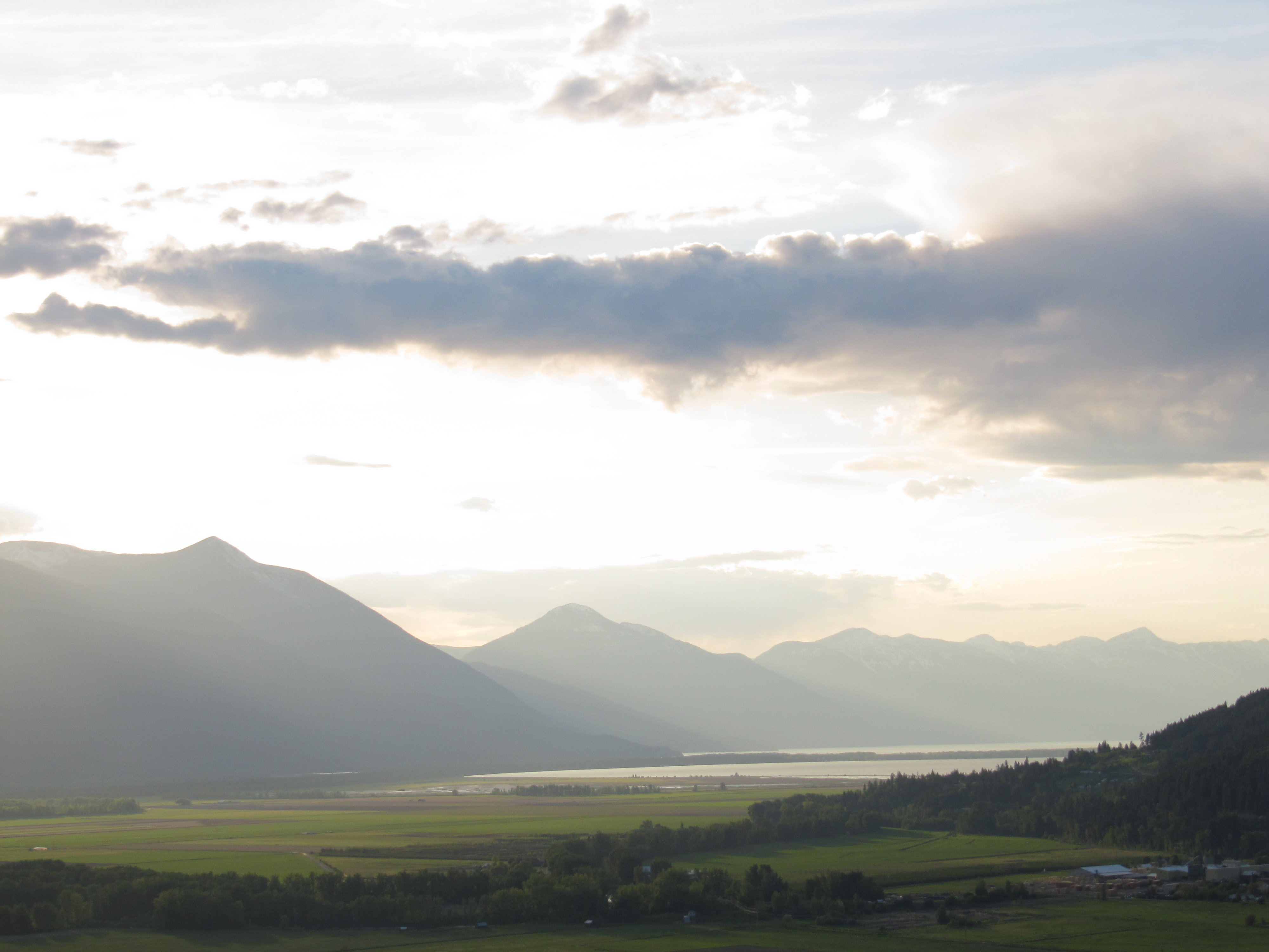
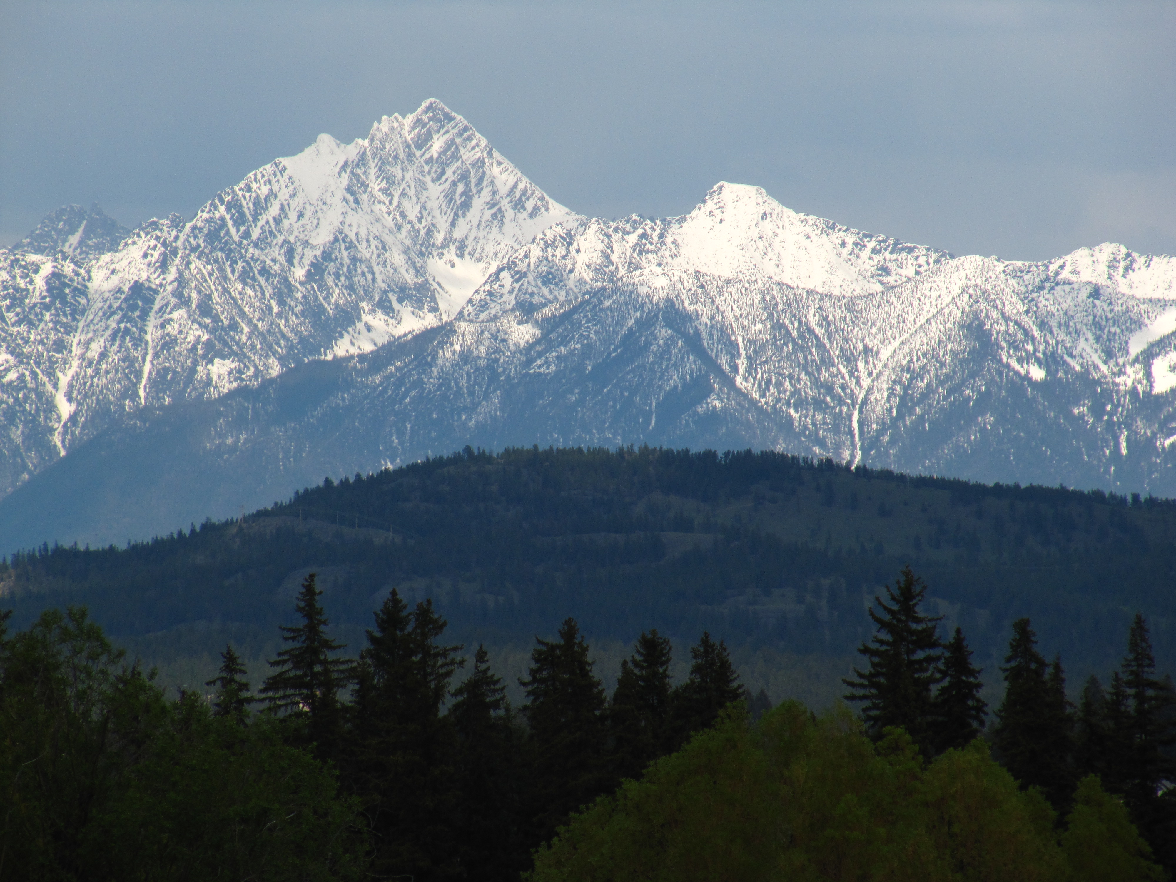
- Beautiful views of Kootenay Lake
- Gently rolling shoreline paved route between Gray Creek and Creston; a road biker’s dream.
- Creston is home to Columbia Brewery, home of Kokanee beer and more; drop in and take the tour!
DOWNLOAD INFORMATION SHEET
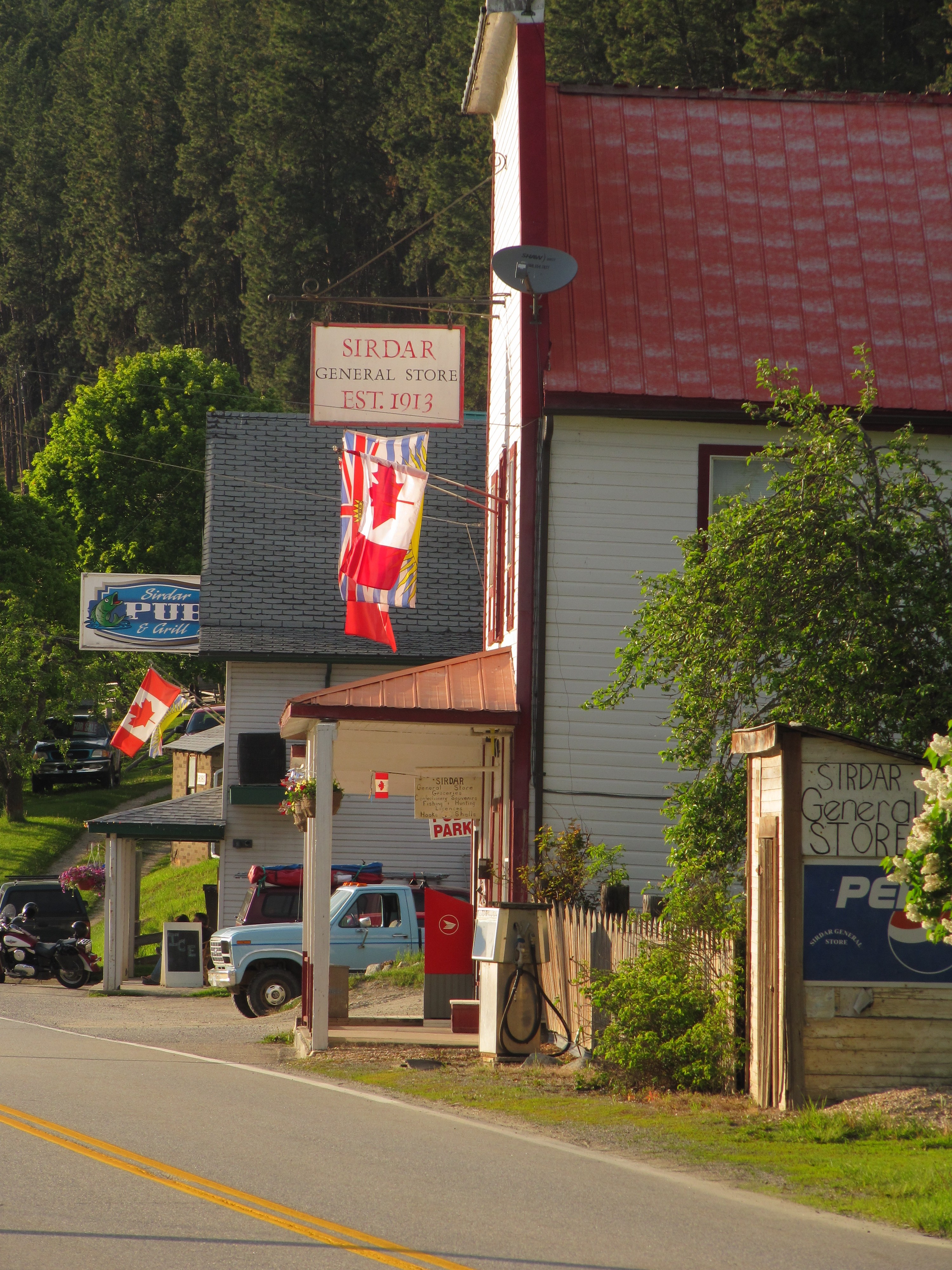
Shopping:
Accomodations:
Campgrounds can be found at Gray Creek, Creston and Cranbrook. See our maps for locations.
Transportation:
Related Links:
Check the Gray Creek Store blog for the latest road conditions over Gray Creek Pass. If closed, this bypass route is perhaps your only option!