


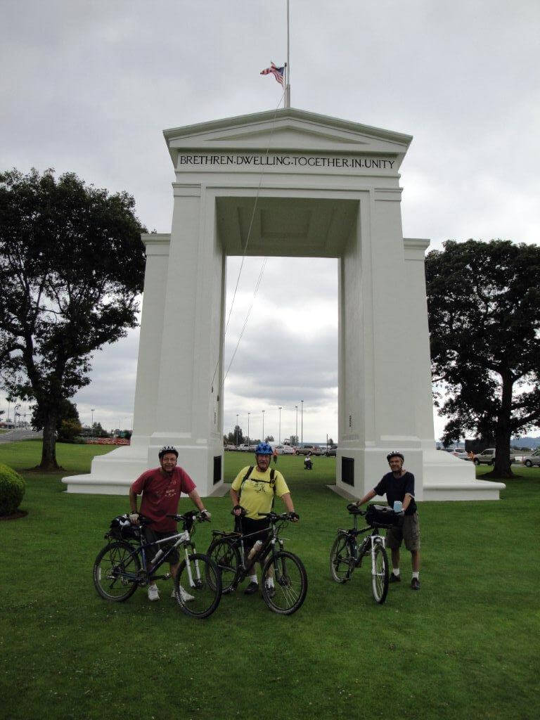
This section of trail offers a pleasant route between the City of Vancouver and the US Border at Blaine, Washington via the Central Valley Greenway and the BC Parkway/7-11 Trail.
Staging Areas:
GPS INFORMATION:
- KML/KMZ files can be opened in Google Earth, and many smartphone apps.
- GPX files can be opened by most GPS software apps when KMZ cannot. Note, GPX files do not contain custom colours and icons that we use on our maps; all tracks and icons will appear the same colour and styles. We recommend using KMZ instead of GPX if possible.
The files below include data for only this specific area. For all of our Trans Canada Trail data for the entire province (including features, campsites and alternate routes), download our BC.kmz master file (1.2 MB) Visit our GPS & Navigation page for instructions of how to use your smartphone as a GPS device (even when outside of data coverage) or how to import data to your Garmin unit.
GPS DOWNLOAD (KMZ FILE)
GPS DOWNLOAD (GPX FILE)
DOWNLOAD INFORMATION SHEET
Staging Areas:
Washrooms:
Route Highlights:
- Quite direct route between Vancouver and the United States – but uses a minimum of roads
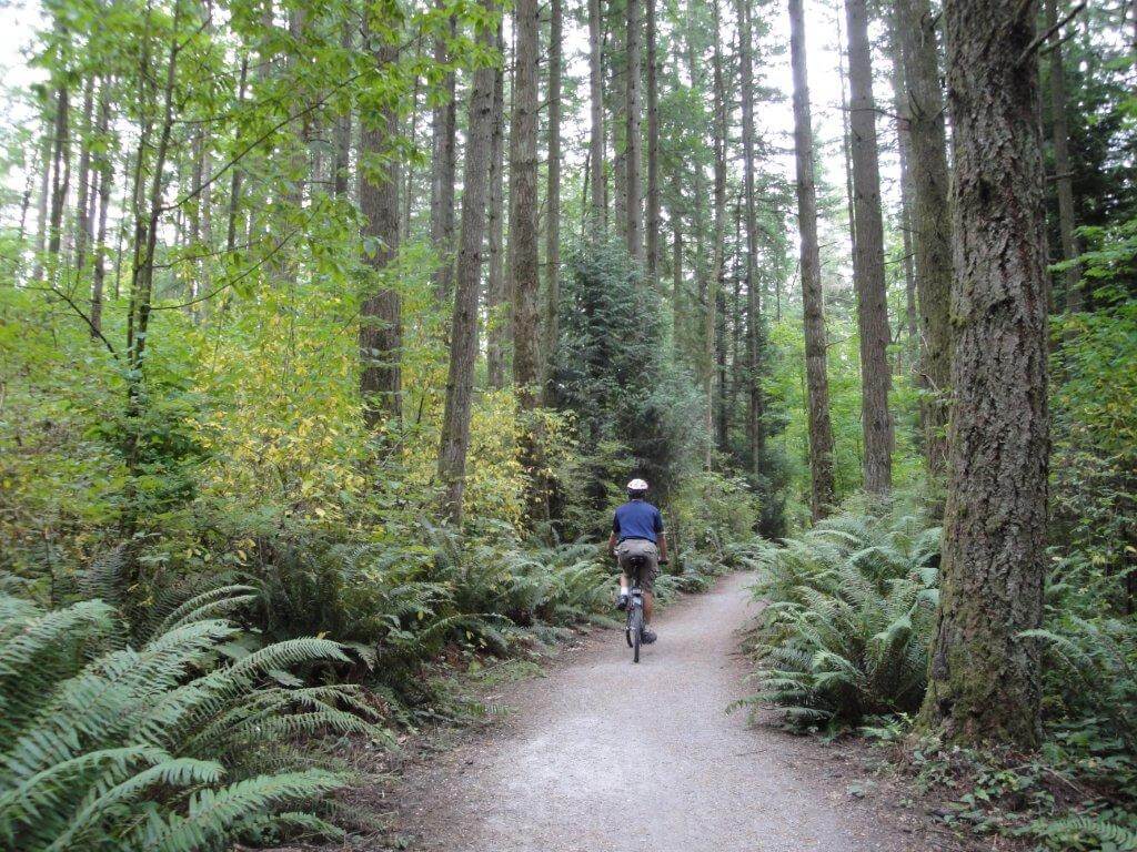
- Scenic, quiet trails
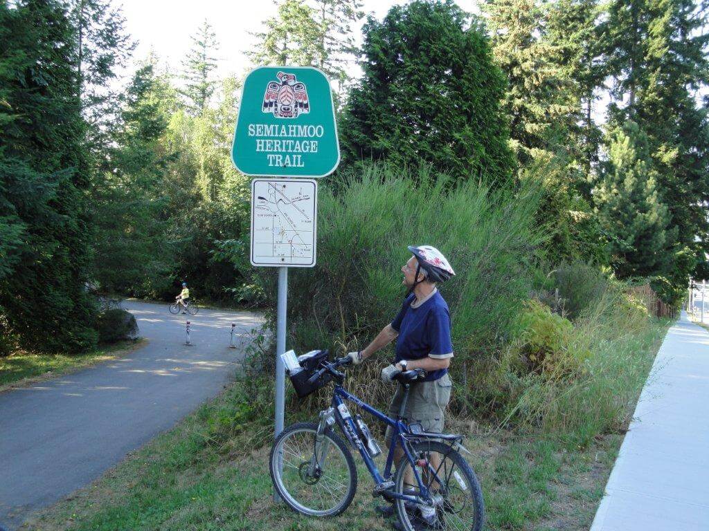
- Can be a little confusing – no trail markers or maps along the way. Use our GPS data!
- Short distance – only about 47 km!
DOWNLOAD INFORMATION SHEET
Shopping:
Accomodations:
Transportation:
Related Links:
- Metro Vancouver
- Border Wait Times (Canadian Border Services Agency – check “Douglas – Peace Arch”)
Directions:
Northbound Directions:These directions do not include the portion from the Border Crossing to Elgin – please stay tuned as we add them to the site. Elgin to Mud Bay
- From the Nimomekl River, the route travels north on King George Blvd, crossing over Highway 99 and over a bridge crossing the Serpentine River.
- A few hundred metres after crossing the Serpentine, take the first road on your left – this will connect to Colebrook Road, which travels perpendicular to King George. Turn west (left).
Delta-South Surrey Regional Greenway Trail
- Continue west on Colebrook Road for about 5.5 km. About 1 km past 125a Street, a trail will appear on the right. Take the trail.
- Follow the Regional Greenway signs past a golf course.
- Right after going under Ladner Trunk Rd take the trail on the left.
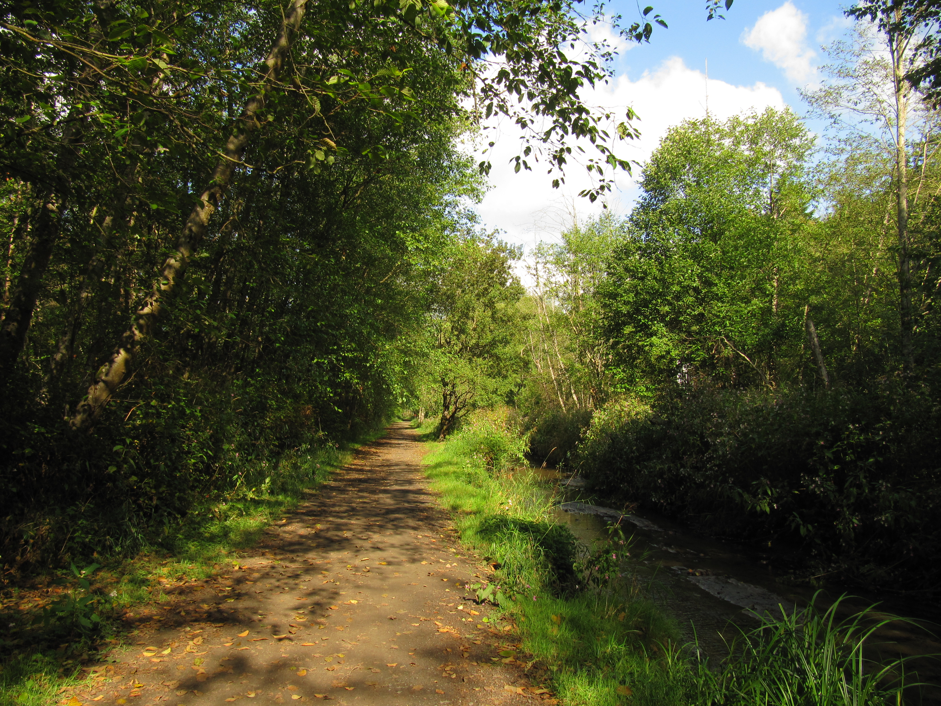
- Stay on this trail past Watershed Park, along Davies Creek, and along Burns Bog right up to the Alex Fraser Bridge.
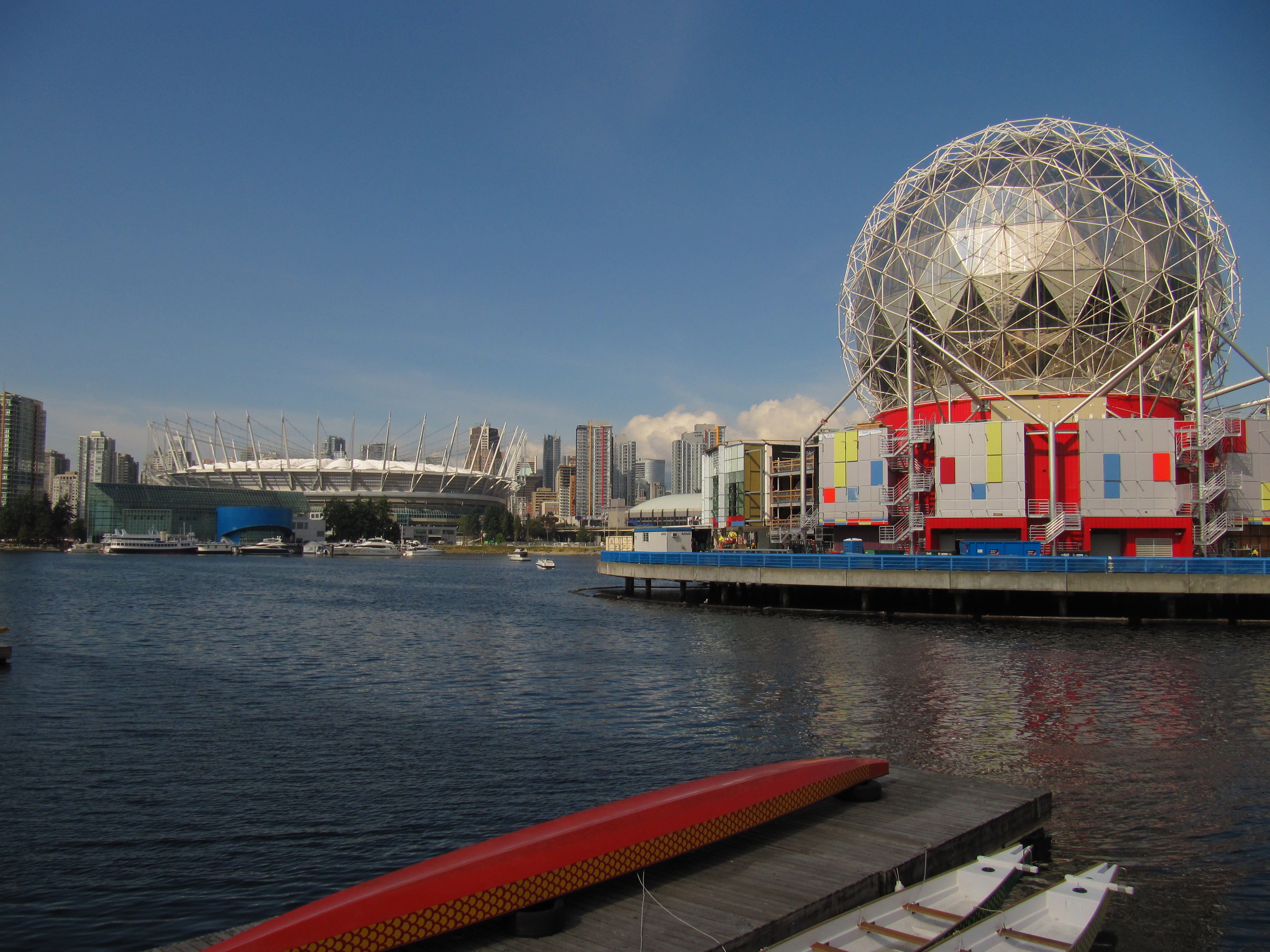
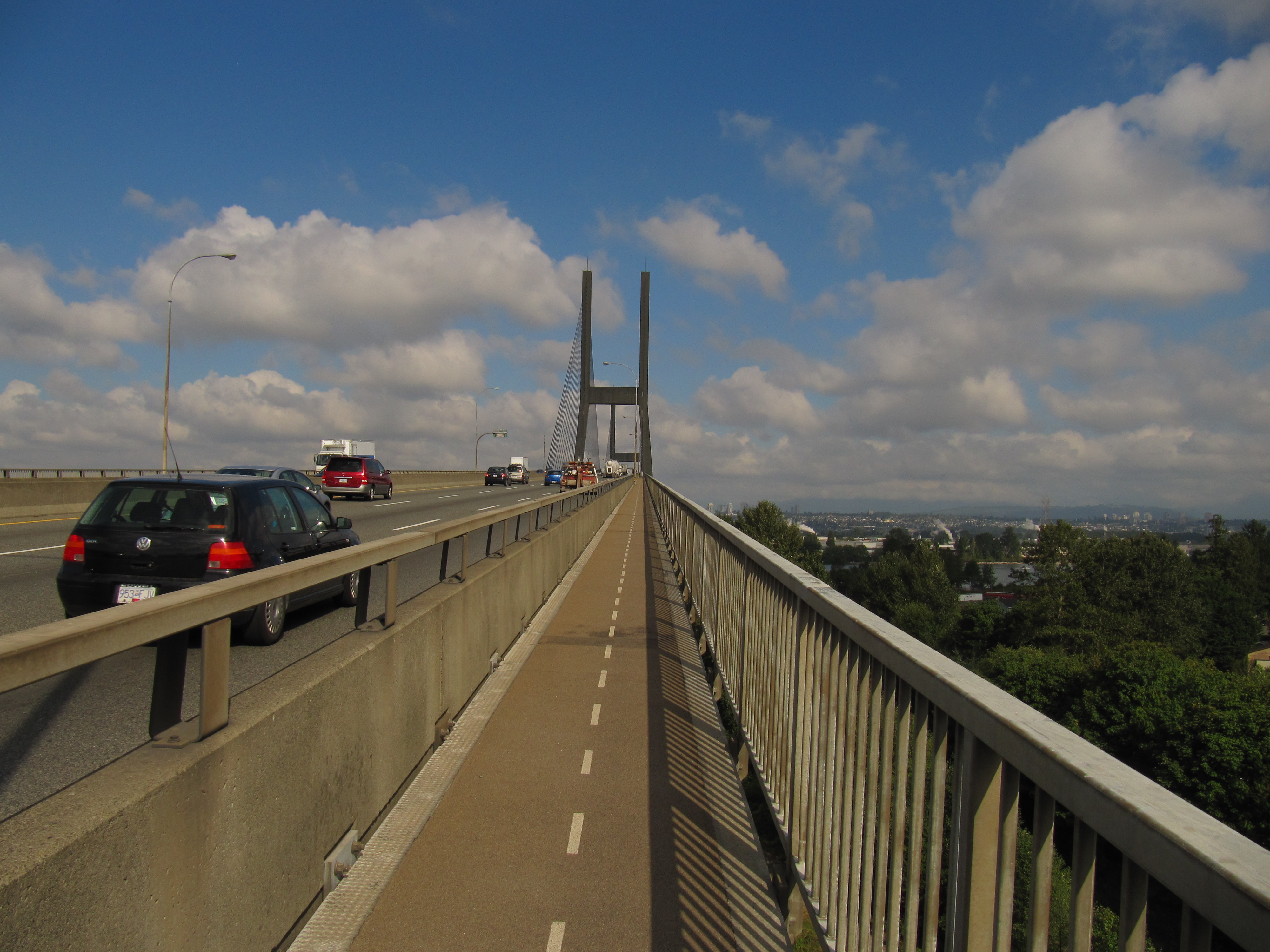
From the South side of the Alex Fraser Bridge to Science World in Vancouver
- Please note that the Alex Fraser Bridge and the Queensborough Bridge have a pathway on each side of the bridge depending which way you are going. Please try to use the the side of the bridge that allows cycling in the same direction of the cars.
- After going across the Alex Fraser Bridge, take pathways through Queensborough to the Queensborough Bridge.
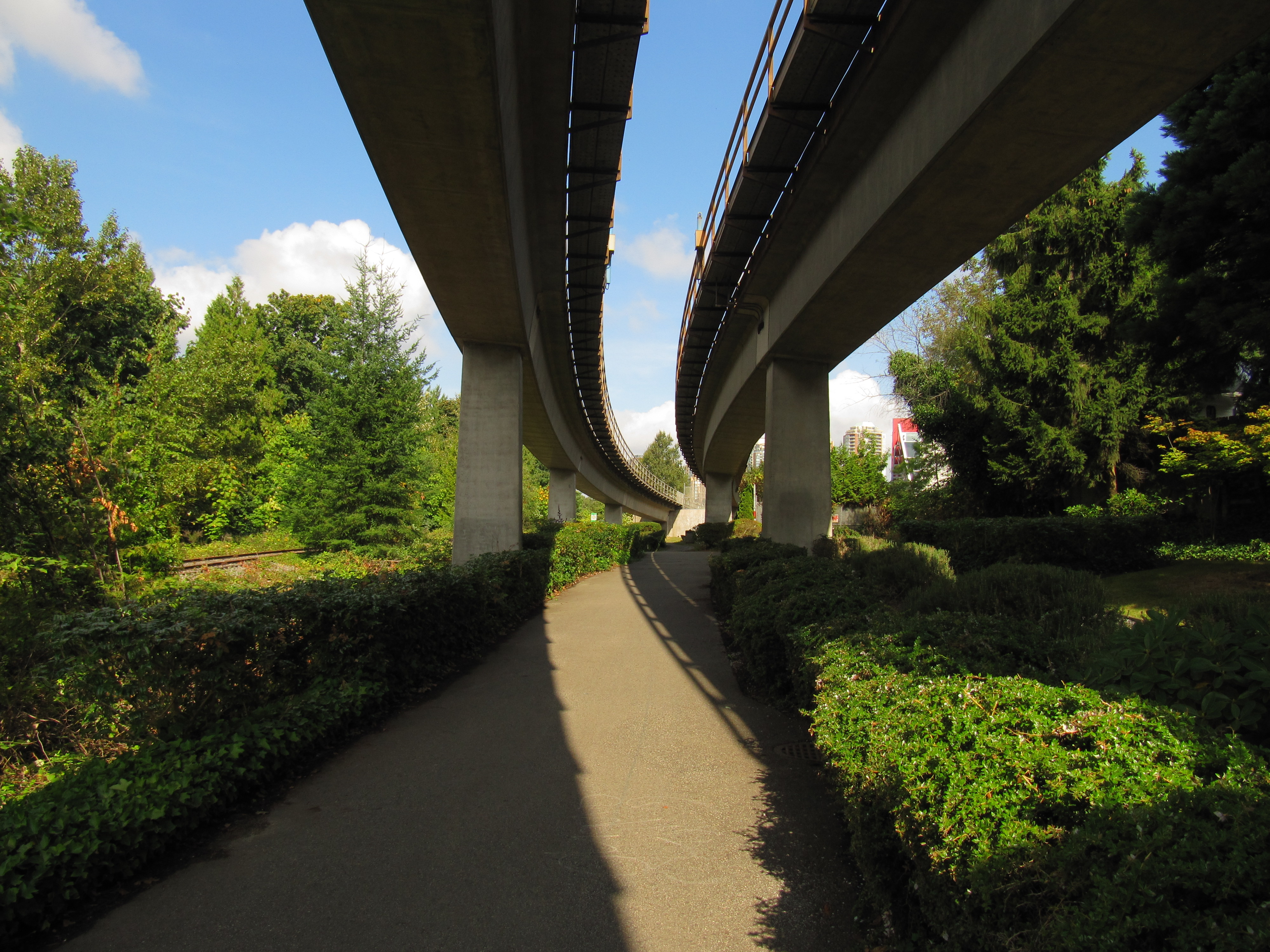
- From the Queensborough Bridge the the BC Parkway/7-11 Trail to John Henry Park. From here there is a connection to the Central Valley Greenway. Follow it all the way to Vancouver.